Introduction
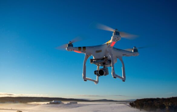
Geological exploration has come a long way, from manual surveying and laborious data collection to the adoption of cutting-edge technologies. One such groundbreaking innovation is the use of drones in geological exploration. Drones, also known as unmanned aerial vehicles (UAVs), have rapidly transformed the field of geology, revolutionizing the way data is gathered, analyzed, and interpreted. In this article, we will delve into the various applications and benefits of drones in geological exploration and uncover how they have reshaped the industry.
Enhancing Data Collection with Drone Technology
High-resolution Aerial Surveys
Traditionally, geological mapping involved arduous ground-based surveys that were limited in scope and time-consuming. However, drones have changed the game by offering high-resolution aerial surveys. Equipped with advanced imaging sensors, they can capture detailed images of geological formations, rock structures, and terrain features from various angles.
Efficient Remote Sensing
Drones have enabled geologists to conduct remote sensing with greater efficiency. By equipping UAVs with specialized sensors like LiDAR (Light Detection and Ranging) and hyperspectral cameras, geologists can obtain precise measurements of elevation, topography, and even mineralogical compositions without setting foot in the field.
Improving Geological Mapping and Analysis
3D Modeling and Mapping
Drones facilitate the creation of 3D models and maps of geological sites, which was once a complex and time-consuming task. These models provide geologists with comprehensive insights into the structure and composition of the terrain, aiding in accurate analysis and interpretation of geological data.
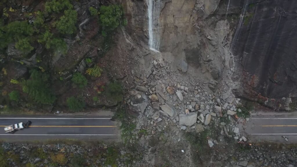
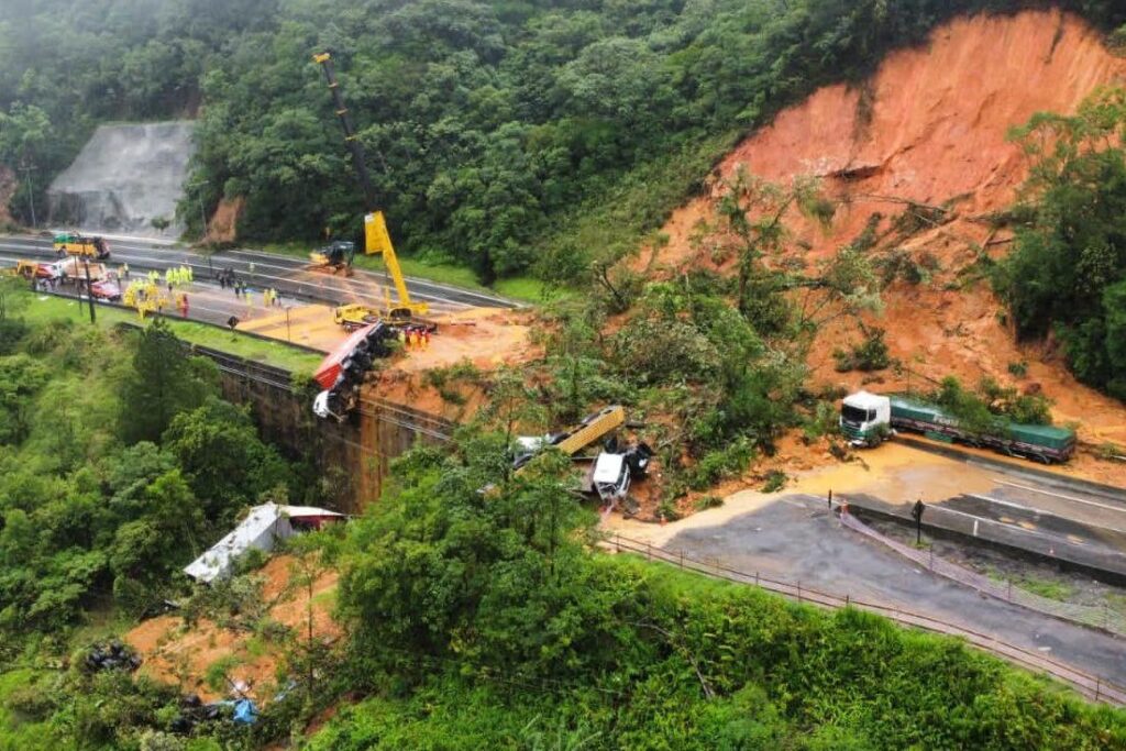
Identifying Geological Hazards
Geological exploration often involves assessing potential hazards such as landslides, rockfalls, and sinkholes. Drones can venture into hazardous or hard-to-reach areas, allowing geologists to identify and monitor such risks in real-time, enhancing safety and minimizing the risks associated with fieldwork.
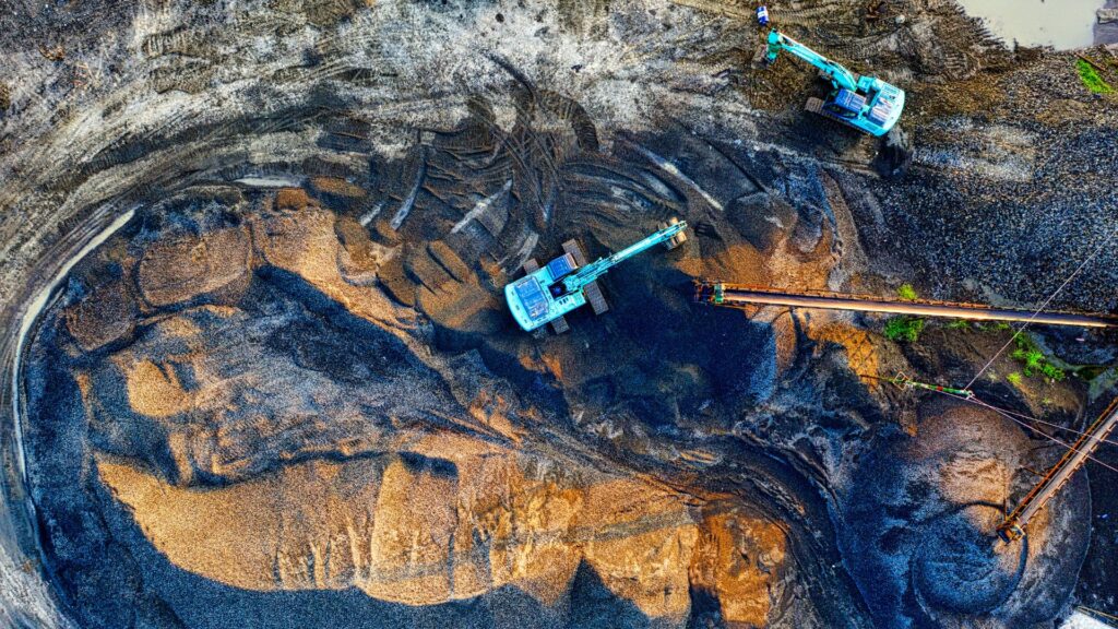
Enabling Cost-Effective Mineral Exploration
Targeted Sampling
Mineral exploration requires targeted sampling to identify viable deposits. Drones can be equipped with geochemical sensors to analyze surface materials and identify areas with high mineral potential. This targeted approach saves both time and resources, making exploration more cost-effective.
Exploration in Remote Locations
Many valuable mineral deposits are situated in remote and challenging terrains. Drones provide an efficient means to explore such areas without the need for extensive logistics or putting personnel at risk. This accessibility unlocks vast potential for mineral exploration in previously uncharted regions.
Environmental Monitoring and Conservation
Tracking Ecosystem Changes
Geological exploration often impacts the environment, and it is crucial to monitor these changes. Drones equipped with multispectral and thermal imaging sensors can track alterations in vegetation, soil quality, and water bodies, aiding in environmental impact assessments.

Supporting Conservation Efforts
Drones have found valuable applications in supporting conservation efforts. They can monitor wildlife populations, assess habitat conditions, and combat illegal activities such as poaching and deforestation. This integration of technology and conservation reinforces responsible geological exploration.
Overcoming Challenges and Limitations
Battery Life and Range
One limitation of drone usage in geological exploration is the restricted battery life and operational range. Extended flights and larger survey areas may necessitate multiple battery replacements or more sophisticated drone systems.
Weather Dependency
Adverse weather conditions can hinder drone flights and data collection. Rain, strong winds, or extreme temperatures may require geologists to plan operations carefully and account for potential delays.
Data Processing and Interpretation
The vast amount of data collected by drones demands robust processing and interpretation capabilities. Geologists must be equipped with the necessary software and expertise to analyze the data effectively.
Conclusion
The advent of drone technology has ushered in a new era of geological exploration, making it more efficient, cost-effective, and environmentally conscious. High-resolution aerial surveys, 3D mapping, and targeted sampling have become accessible tools for geologists, enhancing their ability to unravel the secrets of the Earth’s crust. Additionally, drones contribute to the preservation of the environment and support conservation initiatives, ensuring that geological exploration can coexist harmoniously with nature.
As technology continues to advance, so will the applications and benefits of drones in geological exploration. With ongoing research and development, drones hold the potential to further transform the industry and uncover even more hidden treasures beneath the Earth’s surface.
Frequently Asked Questions (FAQ)
Are drones more accurate than traditional surveying methods?
Drones offer greater accuracy in data collection due to their ability to capture high-resolution images and use specialized sensors like LiDAR for precise measurements. This accuracy minimizes errors and enhances the quality of geological mapping.
Can drones replace human geologists entirely?
While drones have undoubtedly revolutionized geological exploration, they cannot replace human geologists entirely. Skilled geologists are still indispensable for data analysis, interpretation, and decision-making based on the data collected by drones.
How do drones contribute to environmental protection during exploration?
Drones aid in environmental protection by monitoring ecosystem changes, identifying areas at risk, and supporting conservation efforts. They can track habitat conditions, wildlife populations, and detect illegal activities that could harm the environment.
What are the future prospects for drone technology in geological exploration?
The future of drones in geological exploration looks promising. Advancements in battery technology, range, and data processing will overcome current limitations, enabling drones to explore more extensive and remote areas efficiently. Additionally, the integration of artificial intelligence could further enhance data analysis and interpretation, making drone-assisted geological exploration even more impactful.
How can smaller companies benefit from drone technology in geological exploration?
Smaller companies can benefit from drone technology in several ways. Drones offer a cost-effective means of data collection, reducing the need for extensive field teams and minimizing operational expenses. Additionally, the accessibility of remote and challenging terrains enables smaller companies to explore regions that were previously beyond their reach, expanding their exploration opportunities.
In conclusion, drones have undoubtedly revolutionized geological exploration, making it more efficient, cost-effective, and environmentally responsible. As the technology continues to evolve, the industry can expect even more remarkable advancements, propelling us into a future of unprecedented geological discoveries.