Introduction:
Geographical Information System (GIS) is an advanced tool for managing, analyzing and visualizing geographic data. The rise of GIS technology has made it easier for individuals and organizations to access and utilize geographical data for various purposes. This article showcases a list of free GIS software options available for geographic data analysis, making GIS technology accessible for everyone.

List of free GIS software
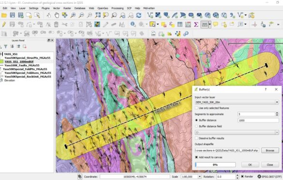
QGIS: An open-source desktop application that allows users to create, edit, visualize, analyze and publish geospatial information. (Website: https://qgis.org)
GRASS GIS: An open-source GIS software that provides advanced geospatial analysis and data management capabilities. (Website: https://grass.osgeo.org)
OpenJUMP: An open-source desktop GIS software that provides features for data viewing, editing, and analysis. (Website: http://www.openjump.org)
gvSIG: A free and open-source desktop GIS software that provides a suite of tools for geographic data management and analysis. (Website: https://www.gvsig.org)
Geospatial Data Abstraction Library (GDAL): A translator library for raster and vector geospatial data formats that can be used for data conversion and processing. (Website: http://gdal.org)
Conclusion:
In conclusion, the availability of free GIS software options has made it possible for individuals and organizations to access and utilize geographic data in a cost-effective way. From desktop applications to libraries, these software options provide advanced GIS functionality, enabling users to manage, analyze, and visualize their geographic data. By utilizing these free GIS software options, users can gain valuable insights and make informed decisions based on geospatial information.