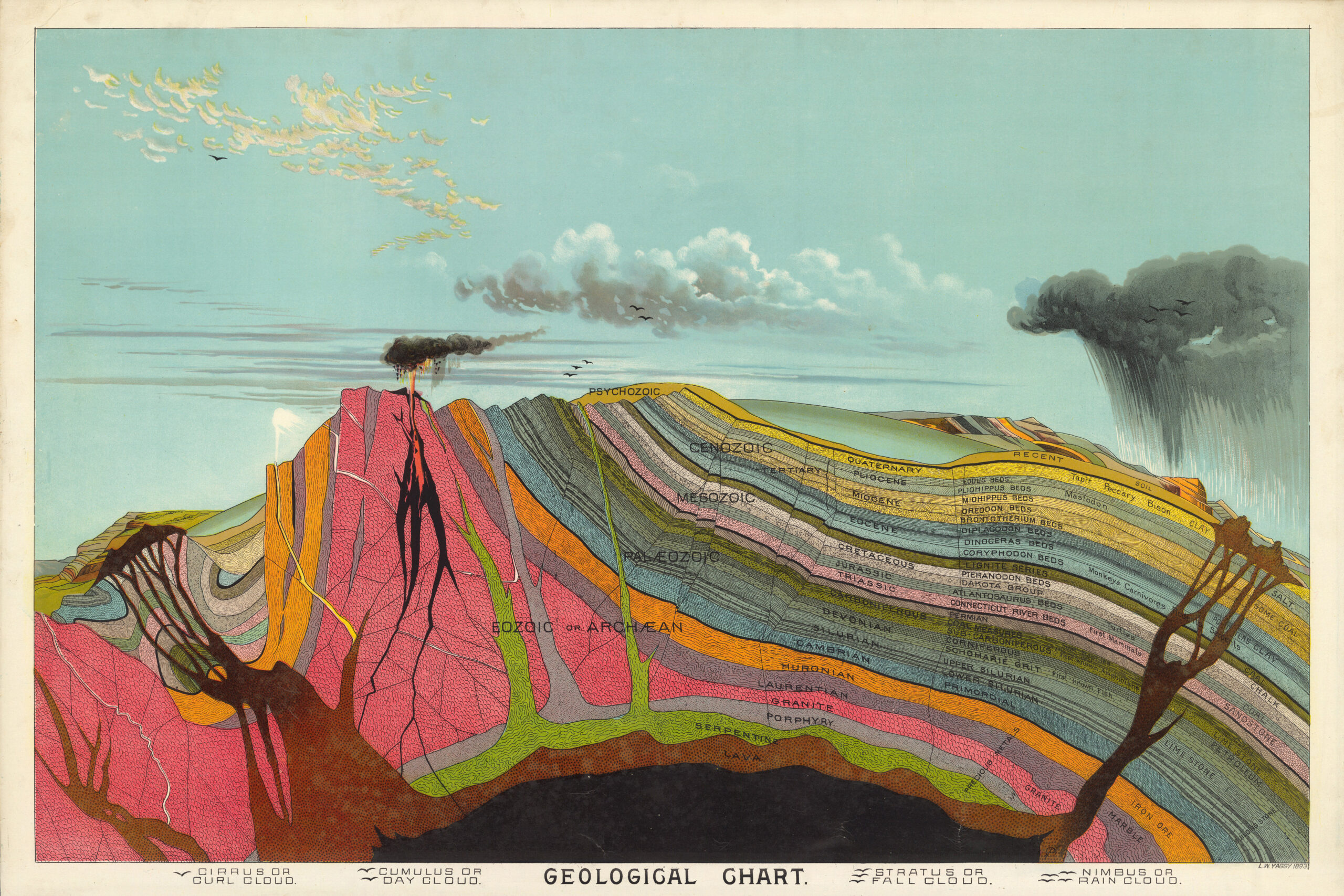
Yaggy’s large geographical charts are among the most beautiful and impressive educational charts published in the 19th century. Using chromolithography, Yaggy created stunning colors and contrasts in his images of the world, its regions, and peoples. The ten charts in this set were originally housed in a large wooden portfolio that also served as a display mechanism, allowing the charts to be tilted up for classroom use. In the portfolio were also two elaborate charts of the universe with moving parts and tinted gels. In 1887 Yaggy published a set of charts with a similar theme, “Geographical Study: Comprising Physical, Political, Geological and Astronomical Geography,” although it did not include any of the chromolithographic charts in our 1893 set. Rather it had more conventional maps of the world and nations. Yaggy intended his charts to be used in classrooms by students, and issued a teacher’s handbook to assist with instruction.
Author: Yaggy, Levi Walter
Date: 1893
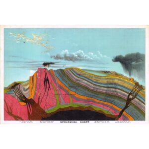
Discover the world beneath your feet with a complimentary download of Yaggy, Levi Walter’s Geological Chart poster. Dive into the depths of geological history and explore the Earth’s story from its earliest formations to the present day. Don’t miss this opportunity to adorn your space with a captivating visualization of our planet’s evolution. Get your free poster now!
| Cookie | Duration | Description |
|---|---|---|
| cookielawinfo-checkbox-analytics | 11 months | This cookie is set by GDPR Cookie Consent plugin. The cookie is used to store the user consent for the cookies in the category "Analytics". |
| cookielawinfo-checkbox-functional | 11 months | The cookie is set by GDPR cookie consent to record the user consent for the cookies in the category "Functional". |
| cookielawinfo-checkbox-necessary | 11 months | This cookie is set by GDPR Cookie Consent plugin. The cookies is used to store the user consent for the cookies in the category "Necessary". |
| cookielawinfo-checkbox-others | 11 months | This cookie is set by GDPR Cookie Consent plugin. The cookie is used to store the user consent for the cookies in the category "Other. |
| cookielawinfo-checkbox-performance | 11 months | This cookie is set by GDPR Cookie Consent plugin. The cookie is used to store the user consent for the cookies in the category "Performance". |
| viewed_cookie_policy | 11 months | The cookie is set by the GDPR Cookie Consent plugin and is used to store whether or not user has consented to the use of cookies. It does not store any personal data. |