Ground investigation assesses ground conditions prior to starting a construction project. Site investigation includes legal and environmental aspects, in addition to the ground investigation.
Objectives of a ground investigation vary with the size and nature of the proposed engineering works, but usually include one or more of:
• Suitability of the site for the proposed project;
• Site conditions and ground properties;
• Potential ground difficulties and/or instabilities;
• Ground data to permit design of the structures.
The investigation is then designed to ascertain data on three different aspects of the ground conditions:
• Drift and soil conditions, with laboratory tests and application of soil mechanics techniques;
• Rockhead, whose depth is commonly significant to both excavations and foundations;
• Bedrock, strength and structural variations, and likelihood of buried cavities are all relevant.
COSTS OF GROUND INVESTIGATION
Extent and cost of ground investigations vary greatly, depending on the nature of the project and the local complexity and/or difficulties of the ground conditions.
Expressed as percentages of project costs, guideline figures show contrasts between project types but cannot cover the variations due to differing ground conditions.
| Project | % Total costs | % Foundations costs |
| Buildings | 0.05–0.2 | 0.5–2.0 |
| Roads | 0.2–1.5 | 1–5 |
| Dams | 1–3 | 1–5 |
A ground investigation must be continued until the ground conditions are known and understood well enough for the construction works to proceed safely.
This principle can and should be applied almost regard less of cost; doubling the ground investigation budget will generally add <1% to project cost; but after an inadequ ate investigation, unforeseen ground conditions can, and frequently do, raise project costs by 10% or more.
Some recent statistics from Britain clearly demonstrate the importance of adequate ground investigation:
• 30% of construction projects delayed by ground problems.
• Unforeseen ground conditions cause most piling claims.
• 50% of over-tender costs on road projects are due to inadequate ground investigation or data interpretation.
UNFORESEEN GROUND CONDITIONS
Construction of a multi-storey car park in Plymouth was delayed by unforeseen ground conditions. The site extended over 200 x 70 m, with a complete layer of drift and therefore no bedrock exposure. 15 boreholes found rockhead at 5–10 m deep.
Piling work then found a deep rockhead gully with steep sides, extending across nearly 10% of the site. All the boreholes had missed it; so the project was delayed, while 100 probes explored rockhead further. Bored piles were then needed over sloping rockhead. The gully was due to dissolution of a narrow unmapped limestone band; it had been impossible to foresee.
In this case, the need for more exploration probes was only apparent with the benefit of hindsight.
STAGES OF A GROUND INVESTIGATION
Initial stage
• Desk study of available data
• Walkover survey and visual assessment
• Preliminary report and fieldwork plan
Main stage
• Fieldwork
Geological mapping if necessary
Geophysical survey if appropriate
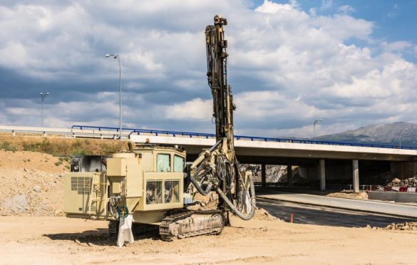
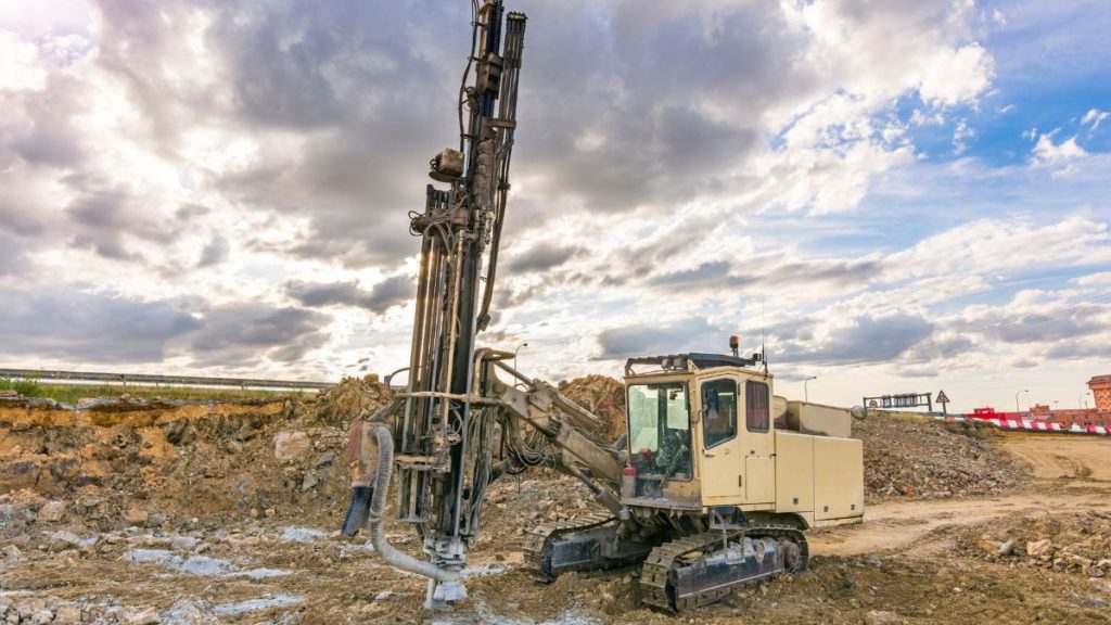
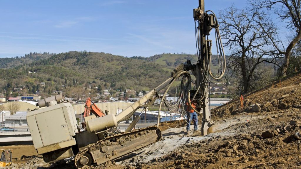
Trial pits, trenches and boreholes
• Laboratory testing, mainly of soils
• Final report
Review stage
• Monitoring during excavation and construction
These stages are in order of ascending cost, so they should form the time sequence to be cost-effective. It is essential to start with the desk study.
Starting with boreholes is inefficient and uneconomic. Inefficient as it may be difficult to interpret borehole logs without the context of knowledge of local geology gained from a desk study. Uneconomic as the boreholes may only yield data already available and may miss ground problems that should have been identified by a desk study.
DIFFICULT GROUND CONDITIONS
An efficient ground investigation recognizes, during the initial desk study, the possibilities of any specific difficult ground conditions occurring within the project site.
It then directs the fieldwork exploration to either eliminate the considered possibilities or determine the extent of the ground difficulties.
The most common difficult ground conditions are:
• Soft and variable drift materials;
• Weathered, weak or fractured bedrock;
• Natural or artificial cavities within bedrock;
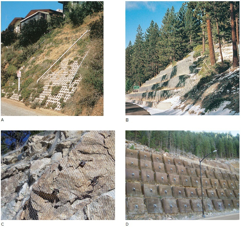
• Active or potential slope failure and landslides;
• Compressive landfill with or without soft spots;
• Flowing groundwater or methane gas.
WALKOVER SURVEY
Recognize possibly difficult ground by a site visit and the desk study, prior to cost-effective field exploration. Check list of aspects requiring only observation:
Correlate ground features with geological map; vegetation may relate to rock type.
Local exposures: check stream banks, road cuts and quarries for geological details and soil profiles.
Land use: signs may remain of past use for mining, old tips, backfill, quarries, buildings, basements.
Interpret physical features; escarpments, moraines, terraces, floodplains, peat flats easily recognized.
Breaks of slope: all must have a reason: edge of erosion profile, geological boundary, or artificial.
Lumpy ground: created by hollows or hummocks or a combination of both. May be caused by any of a variety of conditions: sinkholes, crown holes, mine subsidence, mineshafts, waste heaps, quarry waste, moraine, landslip, solifluction. All except moraine are potential geohazards and require investigation.
Existing structures: check for distress in buildings and stability of old cut slopes.
Landslip: disturbed ground, displaced or damaged structures, deformed trees.
Groundwater: sinkholes, springs, seepages, solutional features, stream levels, flood potential.
UNDERSTANDING GROUND CONDITIONS
The outcome of a successful ground investigation is a broad understanding of the geological conditions of a site, and the implications that these may have on any planned engineering activity.
This requires an overview that may rely on geological experience – not a problem on large projects employing specialist engineering geologists, but maybe critical on small projects with a limited geotechnical team.
Ground conditions are only fully understood when different parameters are integrated into a concept:
• Nature and strength of the rocks and soils, and the difficult ground that any of these may provide;
• Fracture conditions of the rocks, with respect to the rock mass strengths that they determine;
• Geological history, and stress conditions in the ground, critical to underground engineering;
• Groundwater conditions, and slope stability with respect to pore and joint water pressures;
• Quaternary evolution, notably rock deterioration by weathering, and de-stressing by erosion;
• Man-made impacts on the ground, including any contamination of brownfield sites.
TOTAL GEOLOGICAL MODEL
This concept has been introduced to present the broad picture of ground conditions. It develops an overview, which is the normal outcome of a geologist’s thinking, but is rarely foremost in an engineer’s perception. 3-D drawings of ground models incorporate all the individual components of the ground conditions.
The total model matrix has three types of models.
• tectonic – that outline the background data;
• geological – to provide the broad ground picture;
• geomorphological – with the near-surface details.
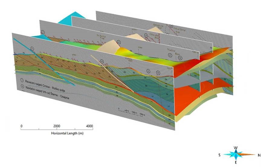
Good model drawings demand some artistic ability, but even rough sketches expose deficiencies in the data on ground conditions of a site, and they focus attention on potential engineering problems.
For a small site, a model may be only a thumbnail sketch, but multiple detailed models are becoming increasingly important on large projects such as highways, pipelines and new town developments. Outcomes of an engineering geology investigation.
• One or more conceptual ground models – which are very helpful to project managers and engineering personnel who do not have a full geological or geotechnical background.
• Identification of areas of difficult ground, and the scale of their potential geohazards.
• An engineering geology report in two parts:
Part 1 – factual data, with all geological records;
Part 2 – interpretation of the ground properties and conditions related to the construction project, potential problems, and the limitations of the data.
Too often, inadequate or misdirected investigations:
• rely on boreholes and trial pits that expose only a tiny fraction of the ground under a site;
• examine parameters not relevant to the problems;
• fail to discover critical ground conditions.
RECOGNITION OF GEOHAZARDS
The steps in good geotechnical risk management:
• Create a team of geotechnical experts;
• Gather all available data on ground conditions;
• Establish the likely/possible forms of construction;
• Identify the potential geotechnical hazards;
• List and rank risks for each part of the project;
• Relate risks to engineering options and to costs.
Models in a ground investigation: best created after the initial stage; this should allow a more efficient main investigation with boreholes and testing; they should evolve as investigations and site works progress – in the style of an observational approach.
The models should provoke both directed and lateral thinking, and so lead to a more balanced and effective ground investigation.
Even if the models are not pursued in every detail, their concept is applicable to every engineer who has to achieve an adequate understanding of the ground conditions at his project location.
Most cases of ‘unforeseen ground conditions’ are only unforeseen because nobody had looked for them.