GEOLOGY IS A FIELD OF SCIENCE and aims to solve scientific questions. Every region has a wealth of interesting questions with answers of importance to society. To answer the questions, geologists use their senses and scientific instruments to observe Earth and its processes. They use the resulting observations to answer questions and then, through a series of logical steps, build from observations to explanations.
What Are Observations?
We learn about our world by making observations. We look, listen, smell, and feel so we can record and analyze what is around us. Scientific instruments provide additional information about aspects of the world that we cannot sense, and they allow us to discriminate fine details. For example, we might sense that the temperature outside is near freezing, but if we use a thermometer we can measure a precise value. Every day we make judgments about whether our observations are worth remembering and reliable enough to plan a course of action.
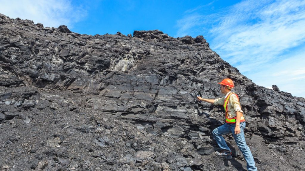
- Geologists, like other scientists, take special care to make valid observations, such as when examining these layers of volcanic ash. An observation that is judged to be valid becomes a piece of data that can be used to develop possible explanations.
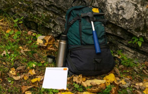
- Compasses and other scientific instruments provide quantitative information, provided they are checked and calibrated to ensure that measurements represent valid and trustworthy data. Geologists record data in a field notebook, tablet, or portable computer and collect samples to permit later reexamination and analysis.
- Evaluating the validity of observations is critical, so geologists commonly repeat measurements to compare values. They may bring other geologists out to the field to check and discuss their observations, measurements, and ideas.
How Are Interpretations Different from Data?
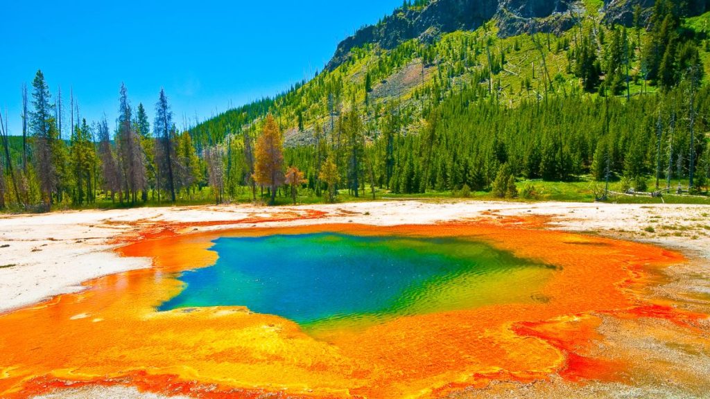
Data, by themselves, are not very useful until we analyze them in the context of existing ideas. Perhaps the data will confirm old ideas, or perhaps they will point out a need for a new interpretation. The recent history of volcanic eruptions near Yellowstone National Park illustrates the difference between data and interpretations.
What Is an Explanation?
When geologists examine a collection of related data, several interpretations may fit together to make a coherent story or explanation. The table below summarizes data-interpretation pairs from part B. The bottom row in the table is a new piece of data obtained from other studies. These data and interpretations combine to form a possible explanation, or hypothesis, for how the belt of smooth topography formed.
| Data | Interpretation | A Possible Explanation |
| 1. A belt of smoothed topography, mostly in volcanic rocks, extends in a northeast direction and cuts across the region. 2. The belt ends at Yellowstone National Park. 3. Volcanic rocks along the belt get younger to the northeast. 4.The North American continent is moving slowly to the southwest based on satellite observations. |
1. The belt of smoothed topography is related to some process that also produced volcanic eruptions. 2. Volcanism at Yellowstone is related to the smoothed topography. 3.The smoothed belt did not form all at once but rather sequentially, from southwest to northeast. 4.There is a source of magma beneath Earth’s crust. The continent has moved over the magma source, causing volcanic activity to occur in a narrow belt. Volcanism initially occurred in the southwest but migrated to the northeast over time as North America moved to the southwest. |
For 15 million years, North America and its lithosphere have been moving southwest over a deep thermal disturbance called a hot spot. The hot spot involves melting of rocks at depth, resulting in volcanism on the surface. As North America moves southwestward over the hot spot, new volcanoes erupt and then become inactive once that area moves past the hot spot. If North America continues to move southwestward, the hot spot may cause new volcanoes northeast of Yellowstone. |
What Is Happening at Yellowstone National Park?
Geologists have long recognized that several huge volcanic eruptions occurred in Yellowstone during the past two million years. Geologist Bob Smith studied Yellowstone for decades and in 1973 noticed that lake levels along the southern side of Yellowstone Lake had risen, drowning trees. How did he investigate his observations?
To check his observation, Smith and colleagues conducted a new, detailed survey of the area’s topography using high-precision surveying equipment.
This view shows Yellowstone Lake, with north to the left. When Smith compared the new survey
with the last survey done in 1920, he discovered that the elevation of the area shaded orange had increased (the area had risen) in a remarkably short period of time. What was causing this area along the north side of the lake to rise in elevation?
Smith concluded that the rising area north of the lake caused the lake to spill over its southern shoreline, drowning trees in the areas shown in purple.