
Introduction:
GPS, short for Global Positioning System, is a technology that has become an integral part of modern life. It is commonly used for navigation, tracking, and location-based services. However, GPS has many other applications, one of which is measuring slope movement over time. In this article, we will discuss how GPS works, its importance in measuring slope movement, and some practical examples of its use.
What is GPS?
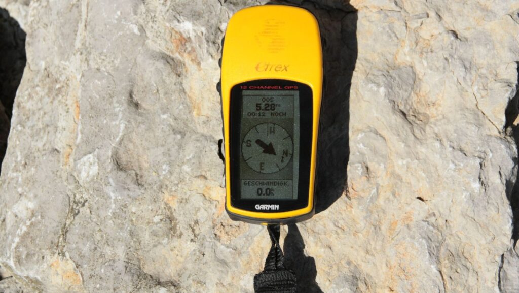
GPS is a satellite-based navigation system that provides location and time information. It was developed by the United States government and became fully operational in 1995. The system consists of a network of satellites orbiting the earth, ground control stations, and GPS receivers.
The GPS receiver is a device that can communicate with the satellites and determine its location on the earth’s surface. The receiver measures the time it takes for a signal from a satellite to reach it, and then uses that information to calculate its distance from the satellite. By measuring its distance from multiple satellites, the receiver can determine its precise location on the earth’s surface.
Importance of GPS in Measuring Slope Movement:
GPS is an important tool in measuring slope movement over time. Slope movement can occur due to various reasons, such as natural processes, human activities, or geological events. Measuring slope movement is crucial in understanding the potential risks to infrastructure and people living in the area.
GPS devices are placed on the slope’s surface and can detect any changes in the slope’s movement. By monitoring the changes in the GPS data over time, researchers can identify the rate and direction of slope movement. This information can then be used to assess the risk to infrastructure, such as roads, buildings, and pipelines, and to develop mitigation strategies.
Practical Examples of GPS in Measuring Slope Movement:
Landslide Monitoring: GPS is widely used to monitor landslides, which are one of the most common types of slope movement. GPS devices are installed on the slope’s surface to monitor the movement of the slope over time. This information can help researchers identify potential landslide hazards and develop strategies to mitigate the risks.
Glacier Monitoring: GPS is also used to monitor the movement of glaciers, which can help scientists understand the effects of climate change. By measuring the movement of a glacier over time, researchers can determine its speed and direction and how it responds to changes in temperature and precipitation.
Mining Operations: GPS is used in mining operations to monitor slope stability and prevent slope failures. By monitoring the movement of the slope over time, mining companies can identify potential risks and take appropriate measures to ensure the safety of their workers and infrastructure.
Conclusion:
GPS is a powerful tool in measuring slope movement over time. By monitoring the changes in GPS data, researchers can identify potential risks and develop strategies to mitigate them. The technology has many practical applications, including landslide monitoring, glacier monitoring, and mining operations. As the technology continues to improve, it is expected that its applications in measuring slope movement will become even more precise and effective. This will be particularly important in regions prone to natural disasters, where the ability to monitor and predict slope movement can help save lives and prevent infrastructure damage. Overall, GPS is a valuable tool in modern geotechnical engineering and has many important applications beyond navigation and location-based services.