Ground Penetration Radar (GPR) uses reflection to give continuous high resolution profiles, similar to those obtained by seismic reflection. Its main advantages are the speed with which data can be collected, and its versatility, as the antennas can be exchanged for others with different frequencies. Its main disadvantage is an excessive dependence on the surface characteristics of the ground where it is applied.
Ground Penetration Radar (GPR) radiates short impulses of electromagnetic energy by means of a transmitting antenna, with frequencies at present between 50 Mhz and 1.5 Ghz. When the radiated wave detects heterogeneity in the electromagnetic properties of the materials (contacts between materials, fractures, cavities, areas of different geomechanical quality, metallic elements, etc.), part of the energy is refracted back to the surface and part is transmitted to greater depths. The reflected signal is amplified, transformed to the audio frequency spectrum and recorded. This provides a continuous profile showing the total travel time of a signal as it passes through the subsoil, is reflected by a heterogeneity and returns to the surface. This double trajectory (TWT-Two Way Time) is measured in nanoseconds (1 ns = 10−9 s).
Selection of antenna frequency for a particular study is conditioned by a compromise between resolution and penetration. High frequencies have better resolution at low depths while low frequencies penetrate further but have lower resolution.
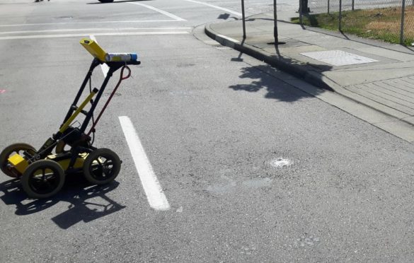
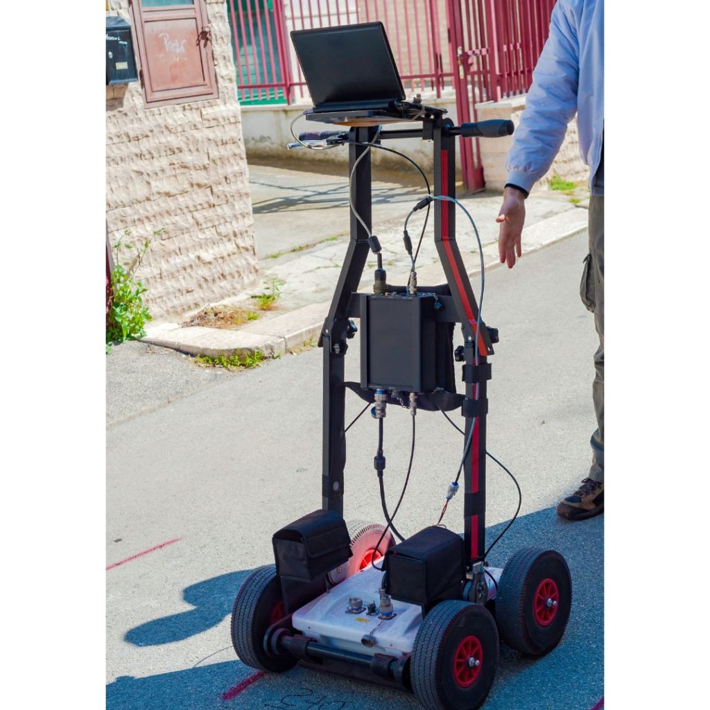
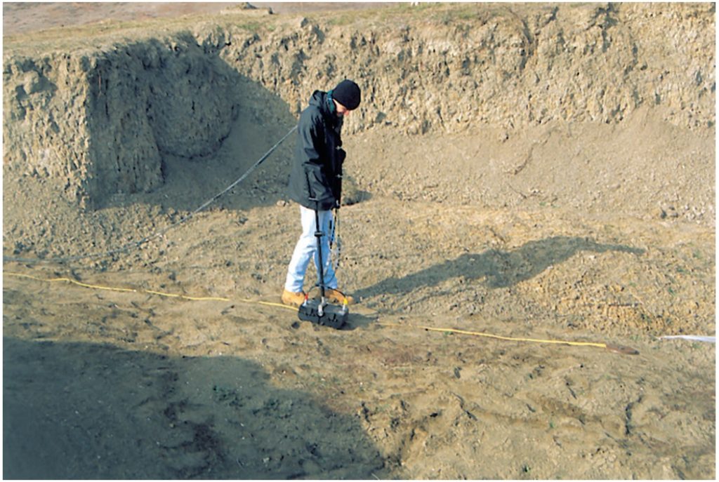
Georadar equipment consists of four main elements: transmitter, receiver, control unit and recording unit (Figure 1). Normal operative procedure involves recording profiles by moving the antennas along a path while maintaining a constant distance between them.
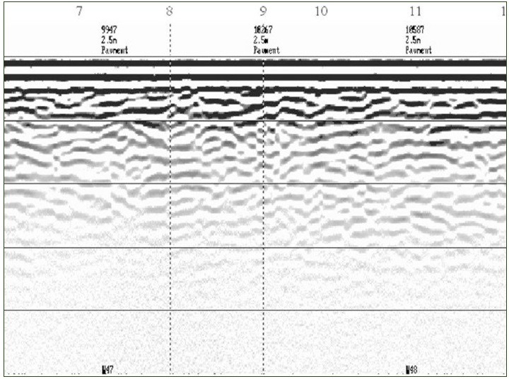
The interpretation of georadar recordings, or radargrams, is normally based on characterization of the texture, range, continuity and termination of the reflections. Figure 2 shows an example of a georadar cross-section.
When an investigation using georadar is planned, the following factors have to be borne in mind: contrast in the electrical properties of the materials, penetration and resolution (which depend on the electrical properties of the ground and the frequency of the antenna used), background noise (the equipment is very sensitive to the influence of metallic structures, radio waves, electricity power lines, etc.) and the water table.
Applications of georadar include the detection of cavities and contacts between materials and location of metallic structures, electric cables and pipelines.